south africa's coldest premier trail race
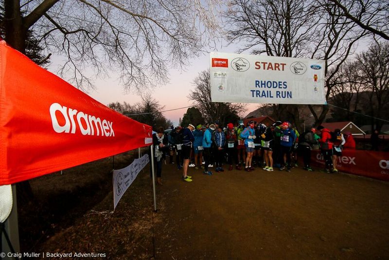
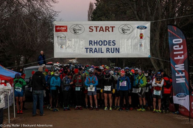
The race starts from and finishes in the village of Rhodes.
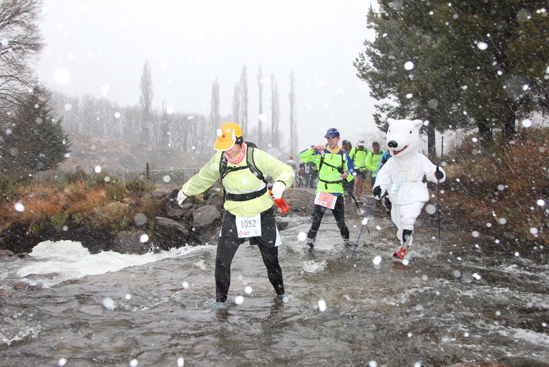
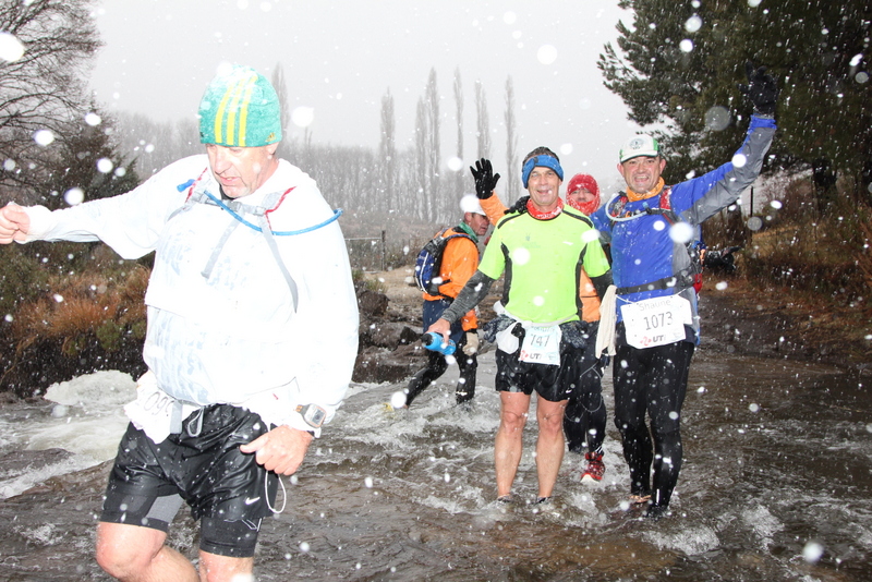
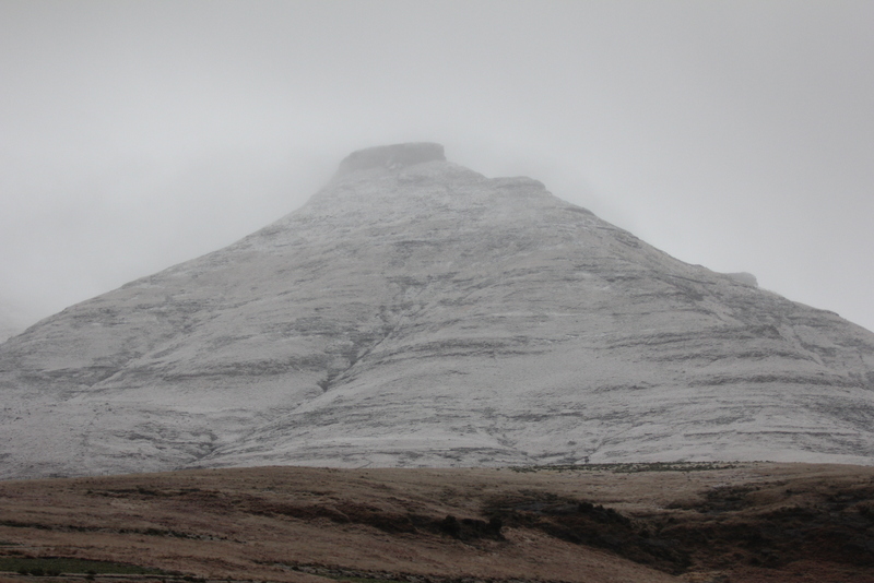
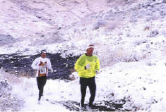
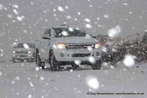
 The race distance is 52km but the organizers may at any stage, in their discretion, shorten or change the route should conditions threaten the safety of the runners. The race is not recommended for unfit runners or for those who are not prepared to cover rough terrain. Competitors must expect to walk through mountain streams and may have to contend with snow, icy conditions, wet & slippery surfaces and strong wind.
In view of the terrain and possible weather conditions it is mandatory that competitors run with an emergency 'space blanket' and a whistle. Feeding stations can, depending on weather conditions, be up to 10 km apart. Extreme conditions and altitude make the feed stations 'feel' further apart.
Participants with sight colour deficiencies should note that part of the route is marked by means of yellow & orange flags.
PRESERVATION OF THE ENVIRONMENT
The race passes through a unique ecological area and over private property and it is imperative that the environment be preserved. Receptacles will be provided at the feeding stations for debris, used cups and the like. Any runner littering the route will be disqualified and barred from the race.
 ROUTE
ROUTE
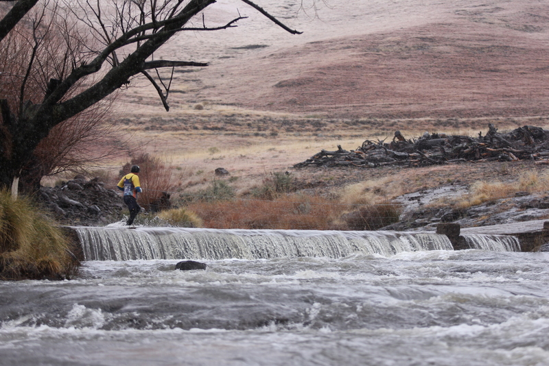
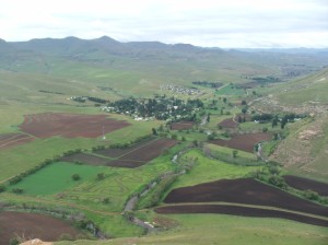
The race starts in Rhodes and the traditional route initially takes runners along the Bell River and into the Kloppershoek Valley, crossing the Bell River several times via causeways and low-level bridges.
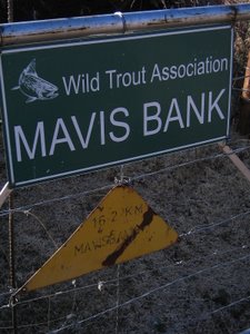
At the Mavis Bank Farm Check Point (approx 13km) the route moves into the Kloppershoekkloof.
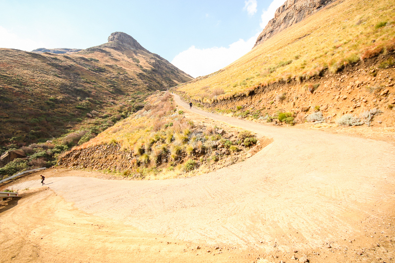
A suitable route along footpaths and cattle and sheep trails will be marked by means of flags. A steep ascent (1:3) from the valley to the Lesotho border Check Point will likewise be marked.
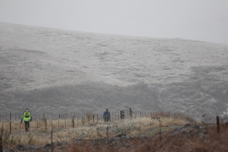
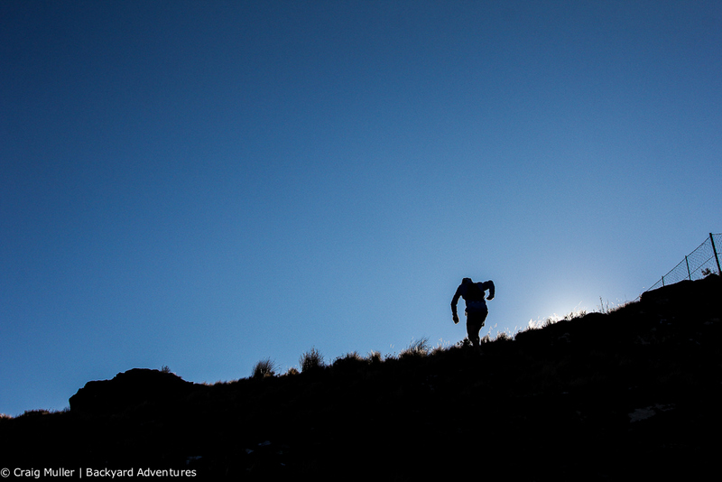
From the top of Mavis Bank the route follows the Lesotho border road through snowfields and past the ski slopes of Ben MacDhui, which reaches to 3001 meters. 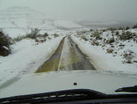
Competitors reach the highest point of the run on this section when they pass Lesotho View (2680m). Snow, mud and strong head wind may be encountered.
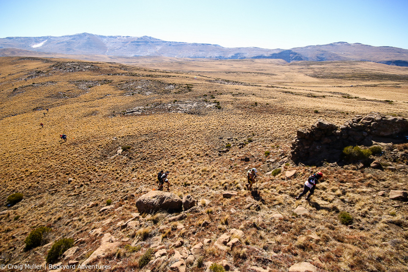
The Quarry Check Point (approx 30km) marks the start of the Hooggenoeg Ridge section. There are no paths on this section and competitors follow the ridge line south along Hooggenoeg Ridge via Hooggenoeg Point using a suitable route marked by means of flags to the Hooggenoeg Hikers Hut Check Point.
Extreme caution is required as this section covers terrain that is extremely uneven and rough underfoot with hidden rocks and holes. Snow, mud and strong wind may be encountered. The access road to the Lesotho border between these two Check Points is out of bounds and runners using the road along this section will be disqualified.
A steep descent (a knee jarring 1:2.3 in places) drops the runners from the mountain plateau into the Carlisleshoek Valley (dropping several hundred meters per kilometer) and thereafter the route follows the Carlisleshoek Valley back to the finish in Rhodes.
ROUTE profile
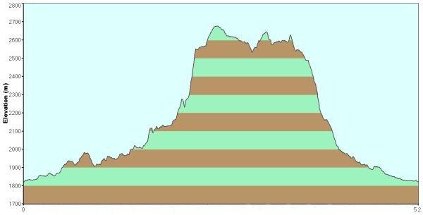
The cumulative climb varies year to year as the route changes through the kloof and on the ridge depending on conditions.
The cumulative climb is, depending on the route, approx 1600m.
© Rhodes Trail Run 2016
